

sizeless
AITurns a smartphone video of an open trench into a centimetre-accurate 3D point cloud, CAD as-built plan and GIS-ready digital twin of buried utilities.
sizeless
Turns a smartphone video of an open trench into a centimetre-accurate 3D point cloud, CAD as-built plan and GIS-ready digital twin of buried utilities.
About sizeless
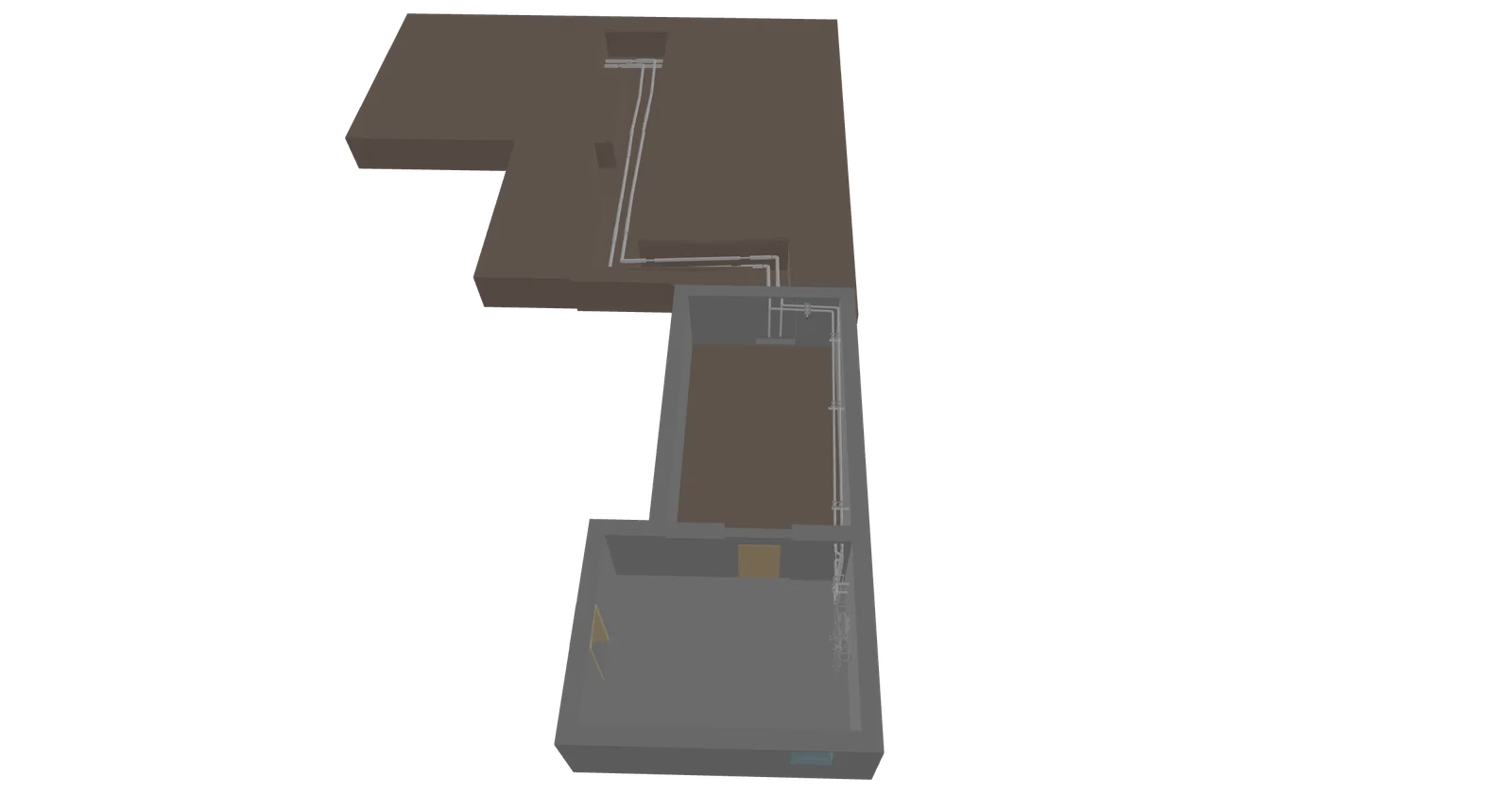
sizeless is an AI-powered surveying workflow for civil engineering and utility construction, built to remove the surveying bottleneck from trench and service-connection documentation. A field technician walks the open trench filming with a standard iPhone Pro — no specialist hardware, no separate surveying appointment and no trained surveyor on site. Reconstruction algorithms developed at ETH Zurich turn that video into a high-resolution, centimetre-accurate 3D point cloud of the excavation, which is then converted into standards-compliant 2D as-built plans in DWG and DXF format and into 3D digital twins of the pipe run including building entry points. Because the capture takes minutes rather than requiring a scheduled survey, trenches can be backfilled immediately after filming instead of sitting open for days, and complete documentation is available within about 72 hours — which in turn pulls connection billing forward. The reconstruction works without GPS, so basement and building-entry sections that defeat GNSS-based surveying are still captured. The resulting record is an unbroken 3D proof of what was actually laid, including third-party utilities crossing the trench, which replaces hand sketches and lets construction errors be spotted before backfilling. Output drops into existing GIS systems for long-term network planning and maintenance. The product targets utility network operators and contractors working on service connections, district heating and general underground infrastructure, and the site is available in German and English.
Screenshots
Key Features
Use Cases


Frequently asked questions about sizeless
What is sizeless?
Turns a smartphone video of an open trench into a centimetre-accurate 3D point cloud, CAD as-built plan and GIS-ready digital twin of buried utilities.
How does sizeless work?
sizeless works by combining Smartphone capture: Field crews record an open trench with a standard iPhone Pro — no specialist scanning hardware and no separate surveying appointment, Centimetre-accurate point clouds: Reconstruction algorithms developed at ETH Zurich build a high-resolution 3D point cloud of the excavation from the video alone, Standards-compliant CAD output: Generates as-built plans in DWG and DXF, with couplings and pipe runs identified and measurements simplified, 3D digital twin and GIS export: Produces a model of the pipe route including building entries that drops into existing GIS systems, Works without GPS: Captures basement sections and building entry points where GNSS-based surveying fails to help users with A utility network operator documenting residential service connections without booking a surveyor for every site, A contractor closing a trench the same day instead of leaving it open pending a survey appointment, Capturing a building entry point in a basement where GPS-based surveying cannot get a fix, A district heating project producing as-built DWG plans for regulatory sign-off, Spotting a laying error in the 3D point cloud before backfilling, while the fix is still cheap.
What are the main features of sizeless?
Key features include Smartphone capture: Field crews record an open trench with a standard iPhone Pro — no specialist scanning hardware and no separate surveying appointment, Centimetre-accurate point clouds: Reconstruction algorithms developed at ETH Zurich build a high-resolution 3D point cloud of the excavation from the video alone, Standards-compliant CAD output: Generates as-built plans in DWG and DXF, with couplings and pipe runs identified and measurements simplified, 3D digital twin and GIS export: Produces a model of the pipe route including building entries that drops into existing GIS systems, Works without GPS: Captures basement sections and building entry points where GNSS-based surveying fails.
Who is sizeless for?
sizeless is useful for anyone interested in A utility network operator documenting residential service connections without booking a surveyor for every site, A contractor closing a trench the same day instead of leaving it open pending a survey appointment, Capturing a building entry point in a basement where GPS-based surveying cannot get a fix, A district heating project producing as-built DWG plans for regulatory sign-off, Spotting a laying error in the 3D point cloud before backfilling, while the fix is still cheap.
How much does sizeless cost?
sizeless is a paid product. Check the official site for current pricing.
How do I get started with sizeless?
Visit https://sizeless.co/ to sign up and explore sizeless.
Explore more AI Ai Tools tools
Browse all Ai Tools tools →Compare sizeless: vs ABrush · vs Jackalope · vs Loqua · vs chat-recall